Bluffhead

TYPE
Loop
Distance
7.3 miles
Town
Guilford
Region
Southern Connecticut
Elevation Change
1,842 feet
Blaze Color(s)
Yellow, Red, Blue

Description

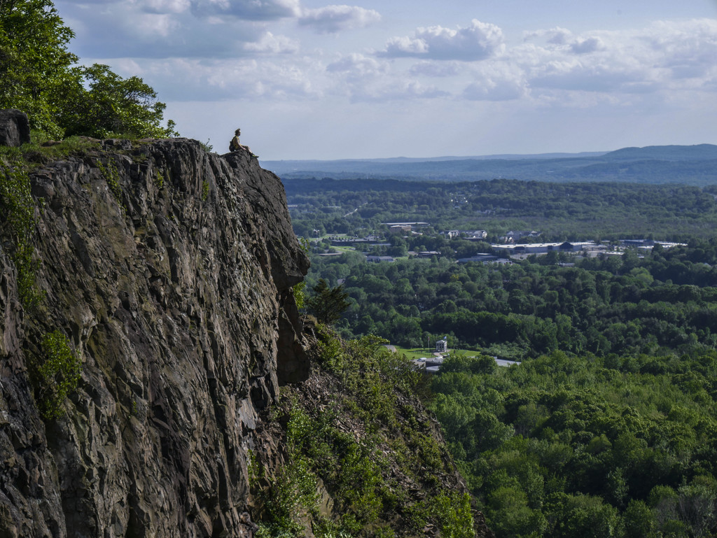
The trail makes an immediate climb to the Bluff Head vista. Use the blue/orange trail for a quick, rocky ascent, or follow the NET for a more leisurely climb on an old fire road. Both routes will top off at the beautiful traprock ridge with bucolic views of North Guilford and Meyerhuber Pond. Hikers will travel along the Totoket Plateau to a junction with the blue/red blazed Lone Pine Trail. Descend the ridge and hop onto blue/yellow blazed George Etzel- Meyerhuber Trail and loop back to the parking area. Much of the land in Guilford’s Northwoods area has been protected by the Guilford Land Conservation Trust. For a shorter loop option, use the blue/white blazed North Slope Trail.

Trail Map